 ADVERT
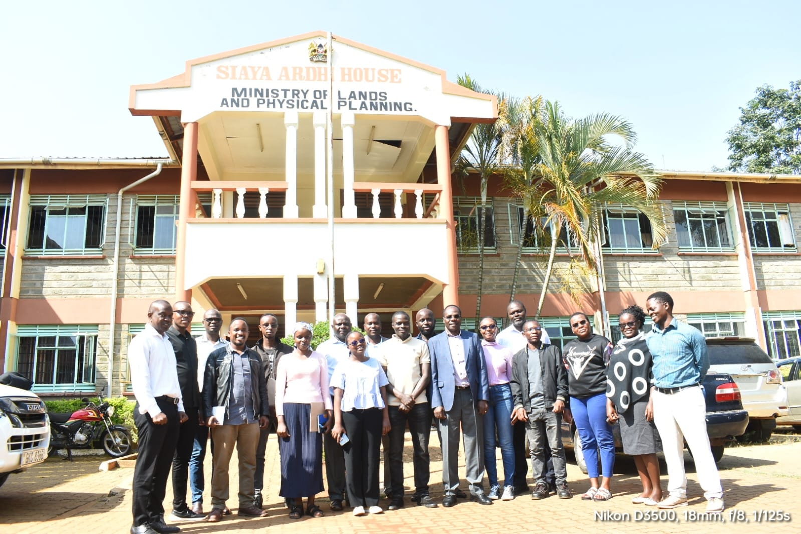
Siaya, July 2025 – In a landmark development for Siaya County, the Department of Lands has formally launched a comprehensive land‑planning and mapping exercise under the Kenya Informal Settlements Improvement Project Phase 2 (KISIP 2). Spearheaded by the Waziri for Lands, the initiative is being executed in partnership with GEODEV Consulting, with technical oversight by physical planner Mr. Robert Arogo.
The planning process, which officially commenced in December 2024, focuses on selected informal settlements—including Awelo, Uhanya, Wich‑Lum, and Kuon gi dek identified by the national offices for priority mapping and socio‑economic survey work. These areas were chosen to ensure equitable, inclusive planning for communities that have historically lacked formal service infrastructure.
The consultative kickoff meeting, held at the Department of Lands’ office in Siaya town, brought together key stakeholders from across the county. Director Morice Ochieng’ underscored the significance of initiating planning early and insisted on clear criteria guiding the process. “There should be proper planning,” he stated, emphasizing predictability and community ownership of the maps and documentation.
Participants included municipal and town administrators from Siaya, Ugunja, Ukwala, and Yala, such as Samuel Ochanda and other local leaders. They will coordinate closely with local residents and elders (wazee) who will assist in mobilization, boundary identification, and data gathering.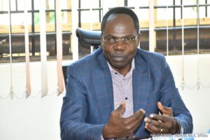
GEODEV Consulting has assembled dedicated teams—two personnel per settlement—to lead trainings, administer guided questionnaires, and conduct household‑level mapping. Each mapping exercise is designed to conclude within two days, enabling efficient progress across all targeted areas. Residents are encouraged to contribute documents and local input to guarantee authenticity and accuracy of the spatial planning.
Physical planner Mr.Arogo explained that the groundwork includes defining the extent of boundaries, issuing draft plans to respective offices, and preparing policy documentation for validation. These materials will later guide future infrastructure investment and development proposals under KISIP 2.
The involvement of the Waziri for Lands serves to reinforce the county’s political commitment to sustainable land management and transparent governance. It also positions Siaya to benefit from formalized land records, improved service delivery, and orderly settlement growth.
Looking ahead, county officials expect this integrated planning model to be replicated in other informal settlements across Siaya. With strong community participation, clear documentation protocols, and technical rigor, the project represents a significant stride toward transforming the county’s housing, land use policies, and urban futurescape.